Description
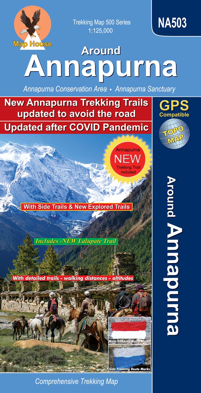
Title: AROUND ANNAPURNA
Map Scale: 1:125, 000
Product Type: Folded
Coverage: | Nepal | Annapurna Region |
Longitude: 83° 32′ – 84° 27′
Latitude: 28° 08′ – 28° 50′
Altitude Range: 800m – 5500m
Difficulty: Moderate/Strenuous
Days: 7 – 21
Organization: Individual
Route: BESI SAHAR, CHAME, MANANG, LEDAR, THORUNG LA, MUKTINATH, TATOPANI, BENI, POKHARA
Update Edition: April 2023
ISBN: 9879937955744


Lou Mondelaers –
Dear,
I would like to purchase this map if possible online, I will be visiting Kathmandu in October 2013, if it’s not possible to buy it online I could go to a store.
Kind Regards,
Lou Mondelaers
Gregor –
HI, can you give me some insight what are the possibilities and cost of getting this map sent to me to Europe, Czech republic?
I would be interested in the map Around Annapurna If the order and delivery is possible I’m happy to provide all other data needed for shipping.
thank you
gregor
michael meade –
Please quote me the prices for “Around Annapurna” and “Langtang” and “Mustang to Annapurna” and “Manaslu & Tsum Valley”. Thank you.
Keith Bourke –
Hi,
I want to buy some maps of the Annapurna Sanctuary trek from Pokhora. Can you send to Australia?
marger –
Hello,
I would buy this map :Title: AROUND ANNAPURNA
Scale: 1:125, 000
Longitude: 83° 32′ – 84° 27′
Latitude: 28° 08′ – 28° 50′
Altitude Range: 800m – 5500m
Difficulty: Moderate/Strenuous
Days: 9 – 21
Organization: Individual
Route: BESI SAHAR, CHAME, MANANG, LEDAR, THORUNG LA, MUKTINATH, TATOPANI, BENI, POKHARA
Update Edition: September 2012
ISBN: 99933-23-07-1
Can you tell me if you sell it or where can I buy it , I’m living in France.
Thank you