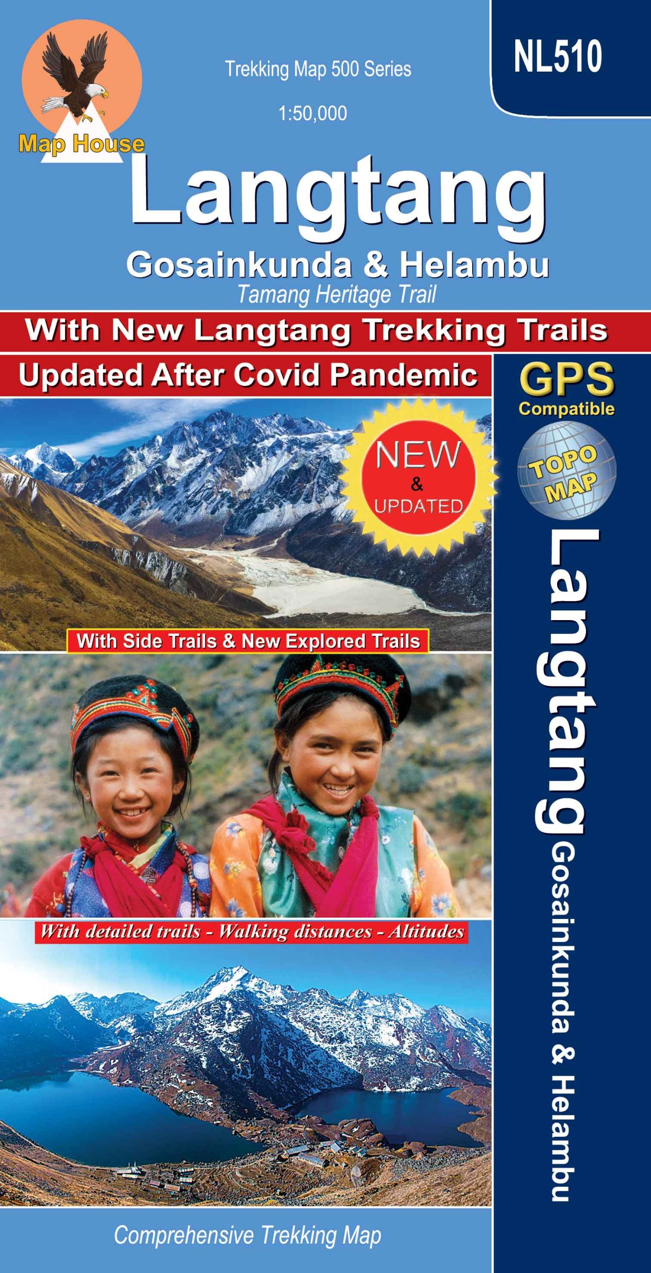
Description
Title: LANGTANG 50K Tamang Heritage Trail, Gosainkunda & Helambu
Subtitle: LANGTANG NATIONAL PARK
Scale: 1: 50,000
Longitude: 85° 03′ – 85° 55′
Latitude: 27° 40′ – 28° 19′
Altitude Range: 540m – 5130m
Difficulty: Moderate/Strenuous
Days: 8 – 12
Organization: Individual
Route: TRISULI BAZAR, DHUNCHE, SYABRU, GOLJUNG,PARVATI KUNDA, GATLANG, THAMBUCHET, TATOPANI, NAGTHALI, TIMURE, RASUWAGADHI, BRIDDHIM, LAMA HOTEL, LANGTANG VILLAGE, KYANJIN GOMPA, LANGSHISA GLACIER, KANJA LA, TARKEGHYANG, MELAMCHI BAZAR, KATHMANDU.
Edition: October 2022
ISBN: 9879937955775

Susan Wicks –
Langtang 50 ibsn 978-9937-577-40-3 cost to post to 342 Parker lane, Rd2, Pukekohe, 2677, New Zealand
Sebastian –
Hi All!
please tell me: is the Mountain Dorje Lakpa at the end of Langtang valley also to be found on this card?
second: how much is it for it please?
thank you very much!
Himalayan Excursion –
Is this the verified map of langtang.
Salamin Thomas –
Hi,
Is it possible to order this map and deliver in Switzerland ? Does it have many changements with the earthquake in 2015 ? I saw the map is edited in 2014.
Thank s for responder and kind regards,
Thomas